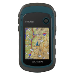
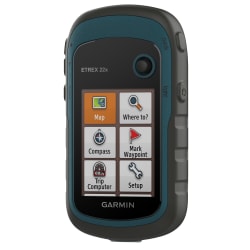
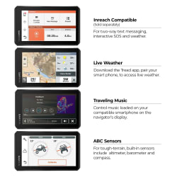
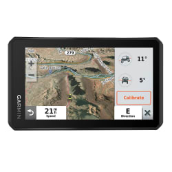
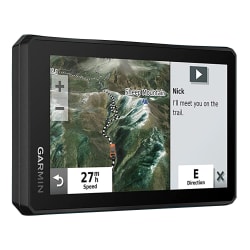
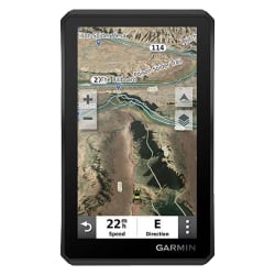
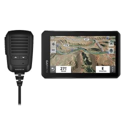
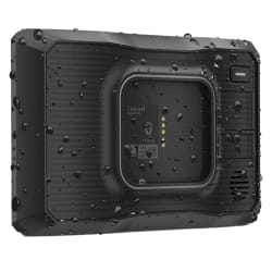
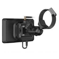
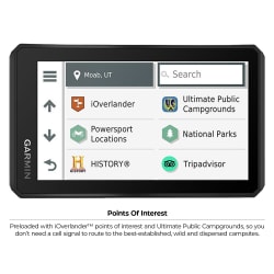
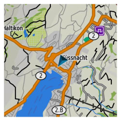
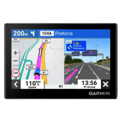
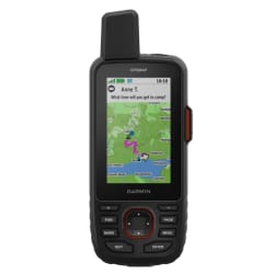
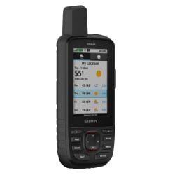
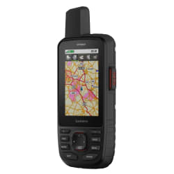
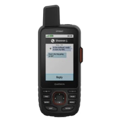
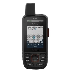
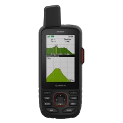
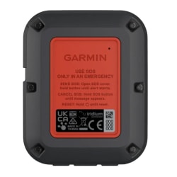
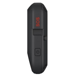
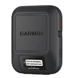
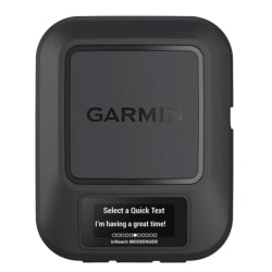
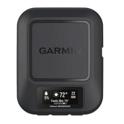
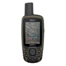
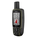
Zoom icon
Garmin GPSMAP 65s - default
Garmin GPSMAP 65s, product, thumbnail for image variation 1
Garmin GPSMAP 65s, product, thumbnail for image variation 2
Garmin GPSMAP 65s YouTube video thumbnail image

Product Information

Explore more with this rugged handheld that offers optimal tracking accuracy, a 2.6-inch colour display and preloaded maps.
  • Large 2.6inch sunlight-readable color display for easy viewing
  • Display resolution: 160 x 240 pixels
  • Expanded global navigation satellite systems (GNSS) and multi-band technology allow you to get optimal accuracy in challenging locations.
  • Includes routable TopoActive mapping and federal public land map
  • Go-anywhere navigation with 3-axis compass and barometric altimeter
  • Compatible with the Garmin Explore website and app (compatible smartphone required) to help you manage tracks, routes and waypoints and review stats
  • Multi-band frequency supported maps (TopoActive Africa)
  • Memory/history: 16 GB (user space varies based on included mapping)
  • Navigate every trail with ABC sensors, including an altimeter for elevation data, barometer to monitor weather and 3-axis electronic compass.
  • Smart Notifications:Receive emails, texts and alerts right on your handheld when paired with your compatible device.

Garmin GPSMAP 65s

1013258
R 9,499.00
Discovery Miles:94 990
PayJustNow:3 x R 3,166.33
In Stock
Add to your wishlist
Explore more with this rugged handheld that offers optimal tracking accuracy, a 2.6-inch colour display and preloaded maps.
  • Large 2.6inch sunlight-readable color display for easy viewing
  • Display resolution: 160 x 240 pixels
  • Expanded global navigation satellite systems (GNSS) and multi-band technology allow you to get optimal accuracy in challenging locations.
  • Includes routable TopoActive mapping and federal public land map
  • Go-anywhere navigation with 3-axis compass and barometric altimeter
  • Compatible with the Garmin Explore website and app (compatible smartphone required) to help you manage tracks, routes and waypoints and review stats
  • Multi-band frequency supported maps (TopoActive Africa)
  • Memory/history: 16 GB (user space varies based on included mapping)
  • Navigate every trail with ABC sensors, including an altimeter for elevation data, barometer to monitor weather and 3-axis electronic compass.
  • Smart Notifications:Receive emails, texts and alerts right on your handheld when paired with your compatible device.

My Cart


There are no items in your cart. Back to shopping.

Expert Advice

Leatherman 101: Your Guide to Choosing the...

At Outdoor Warehouse, we love tools and advocate your toolbox be prepped for any situation or season; however, it can... Continue reading

Essential Tips and Tricks for Overlanding in...

South Africa's diverse landscapes, from rugged mountains to vast deserts, make it a prime destination for overlanding... Continue reading